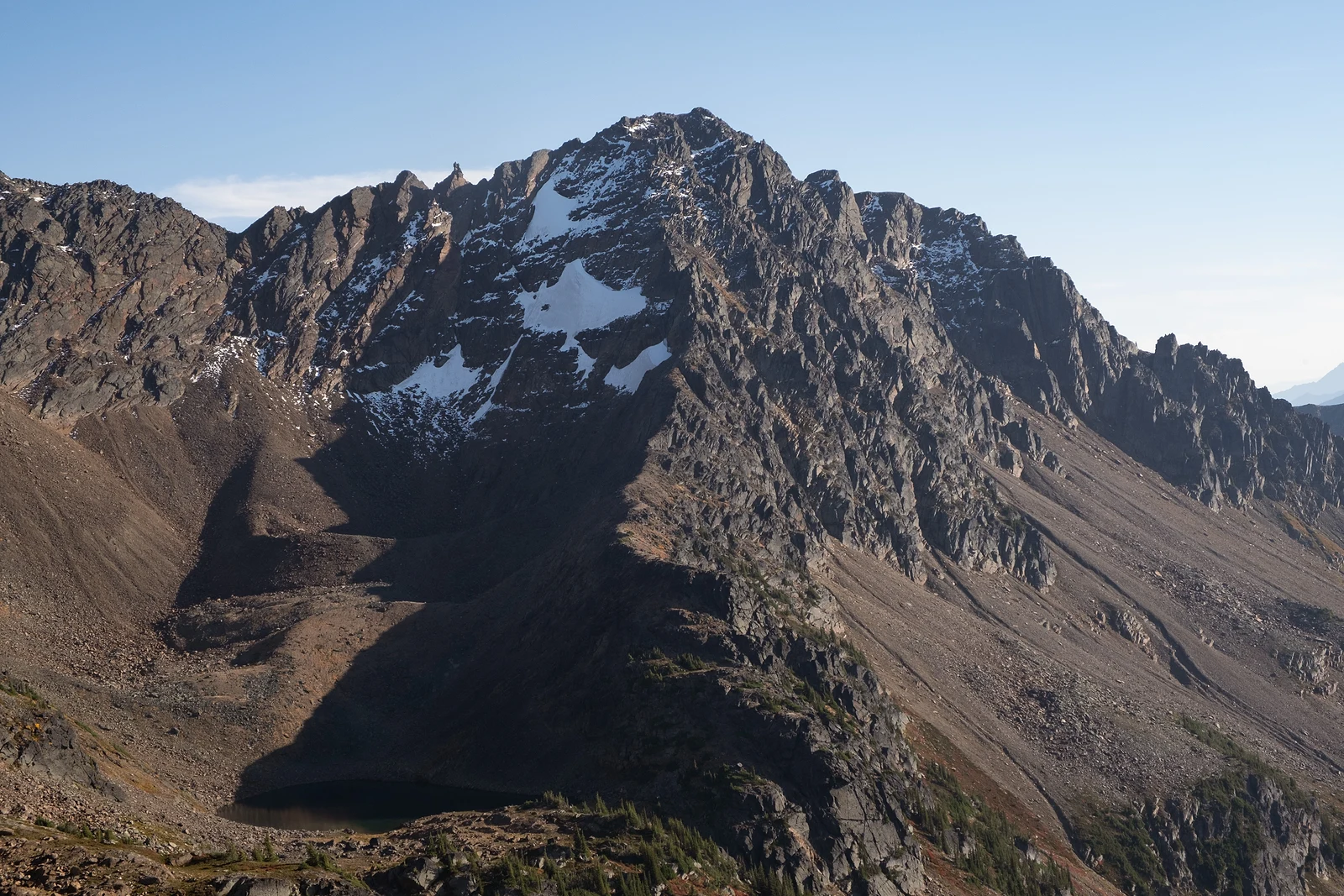
Second highest peak in the Chiwaukum Mountains
This is the second day of a 2-day combo ascent of Big Chiwaukum and Snowgrass Mountain. We climbed Big Chiwaukum on the first day and camped at Grace Lakes. For the first day, please see the Big Chiwaukum trip report: https://www.hippohamster.com/posts/big-chiwaukum-southwest-slope
Snowgrass Mountain is the second highest peak in the Chiwaukum Mountains, only 80 ft shy of its neighbor Big Chiwaukum. It is craggy on the north and west sides, but its south side is a massive, broad ridge.
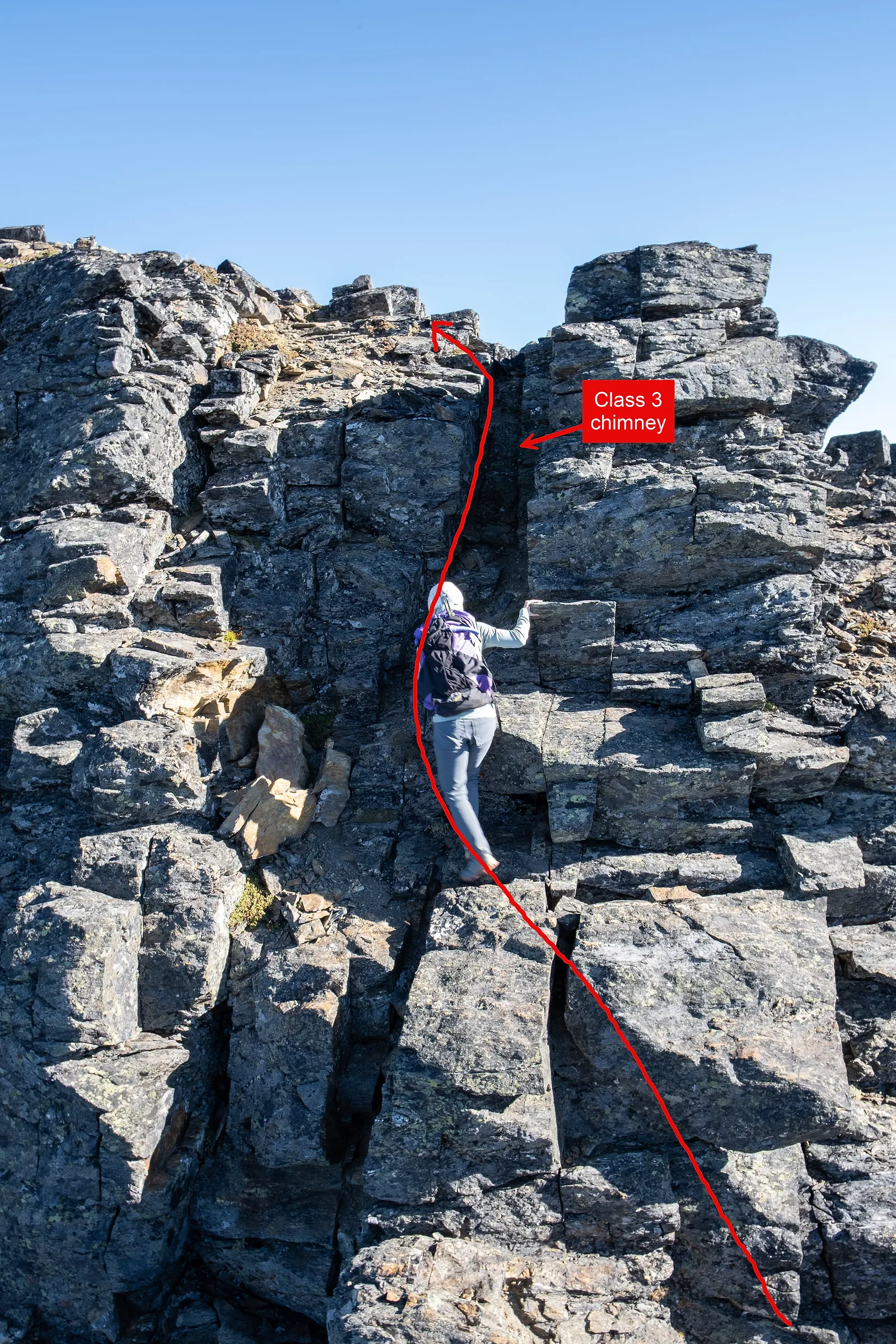
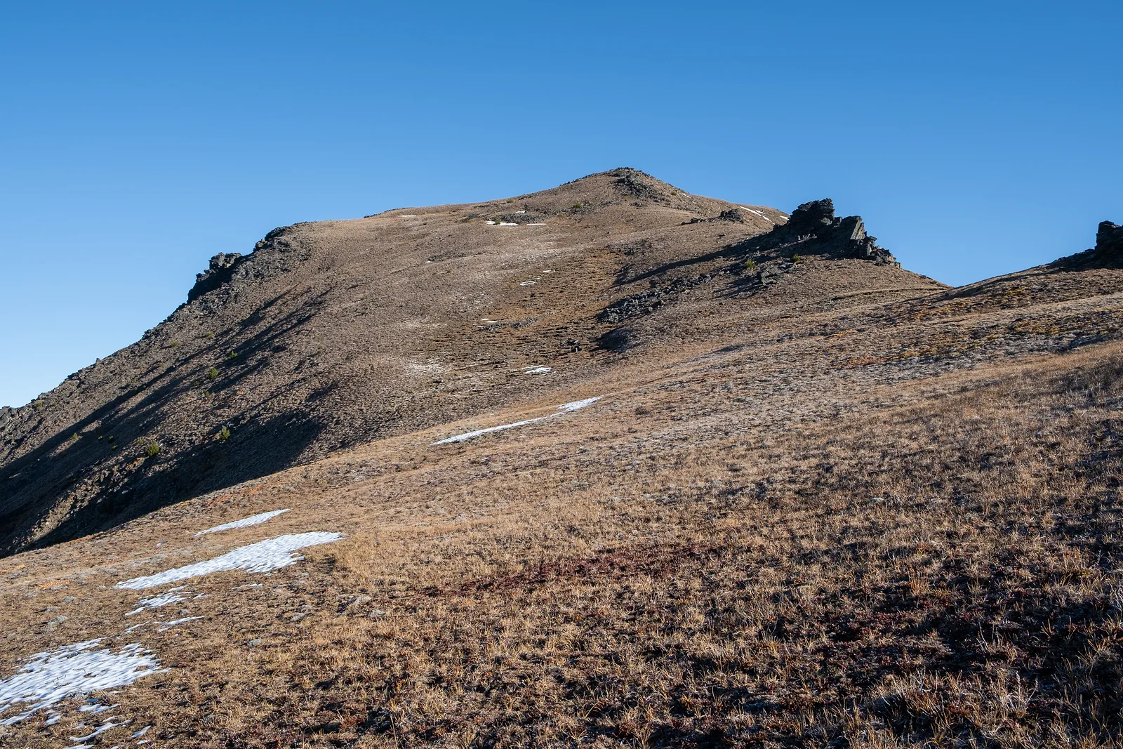
Some guidebooks and websites describe it as an easy class 2 walk to the summit. But if you stay on the ridge, you will need to do at least one class 3 section and one exposed class 4 section to reach the summit. I think it is also possible to traverse the basin directly when there is snow, which would make it a class 2 route to the summit.
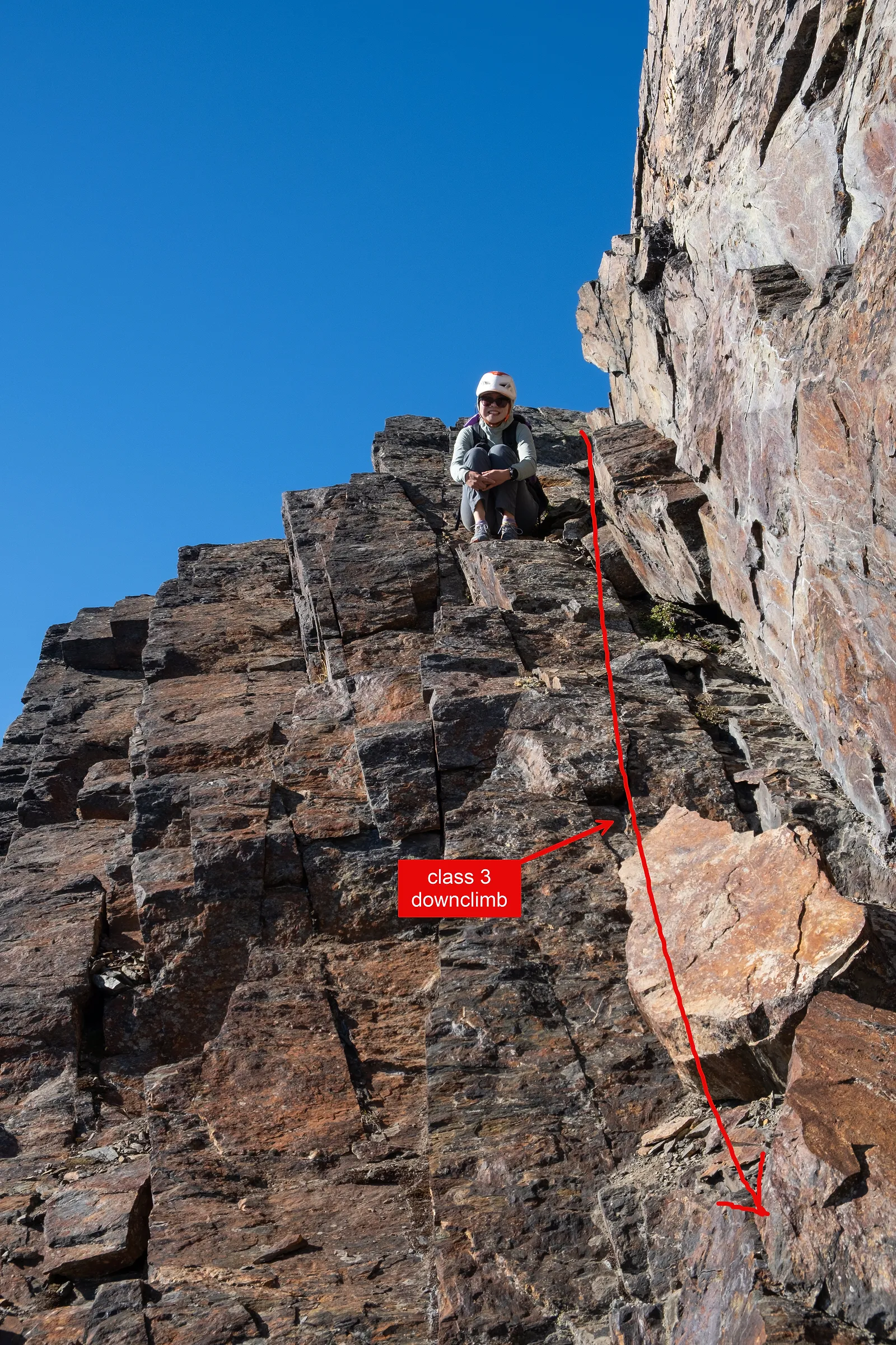
After the broad ridge walk, your first obstacle is to downclimb and then climb a class 3 chimney up to a high point.
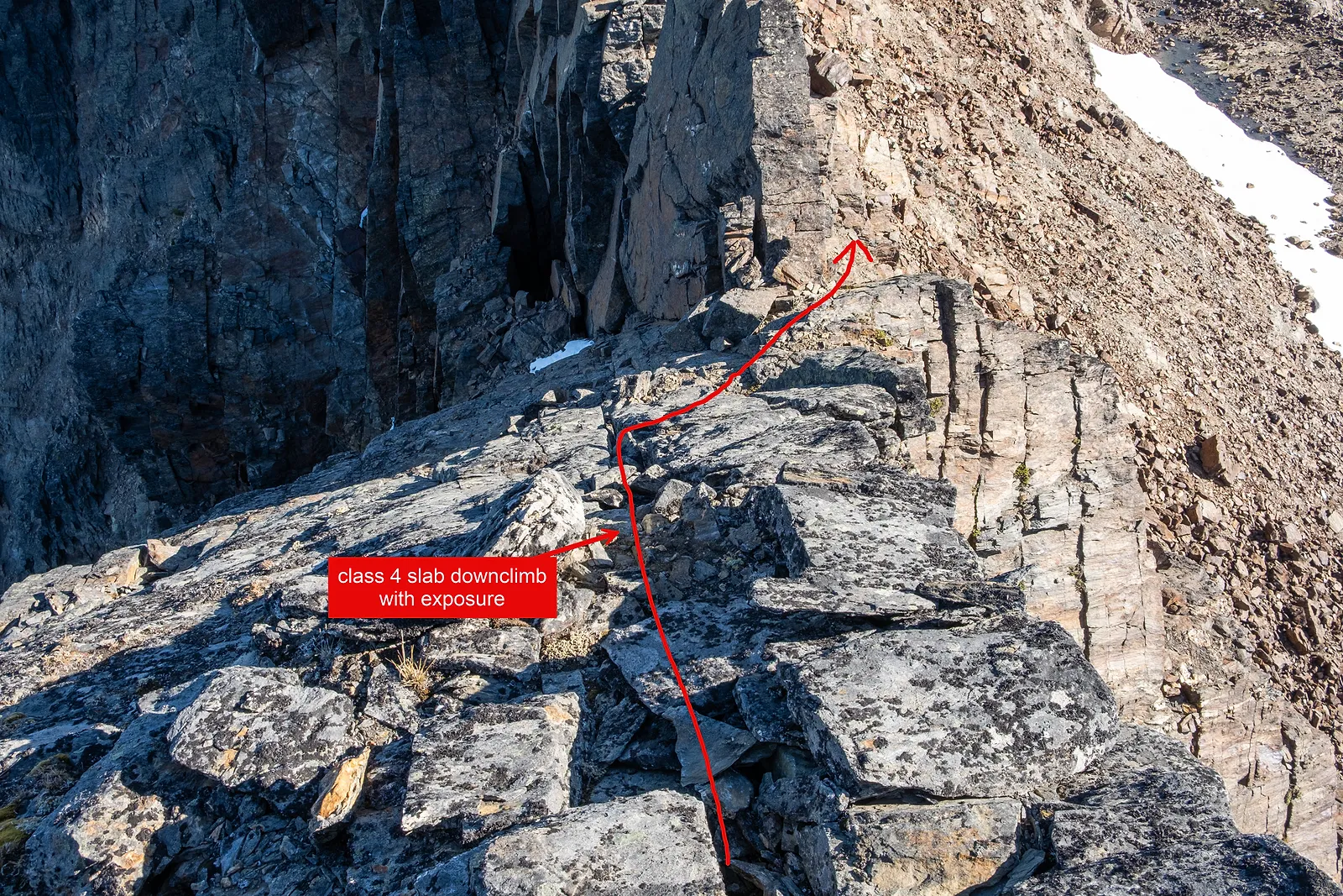
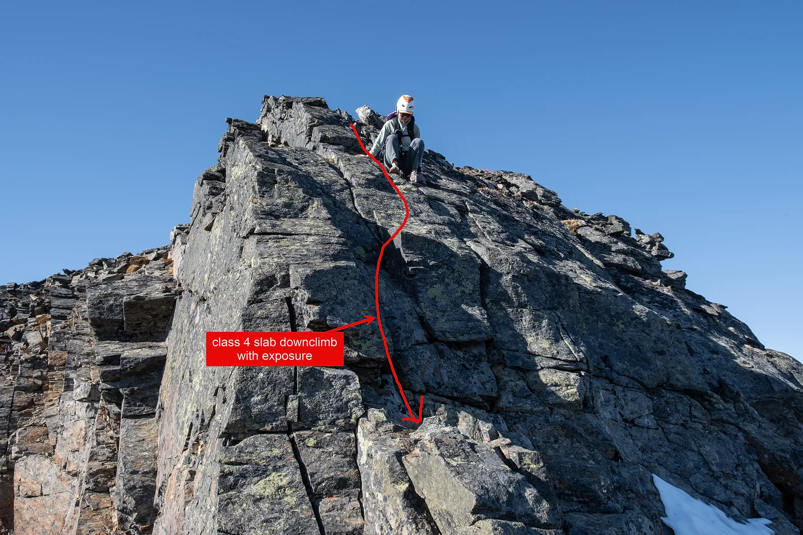
Right after this, you need to downclimb a class 4 slab and then do another class 3 downclimb to get past the last false summit on the route. There is a large cairn that marks the start. The class 4 downclimb involves big exposure. We sat on our butts for the upper section, then turned around and faced in for the lower section. From there, the rest of the way to the summit is proper class 2.
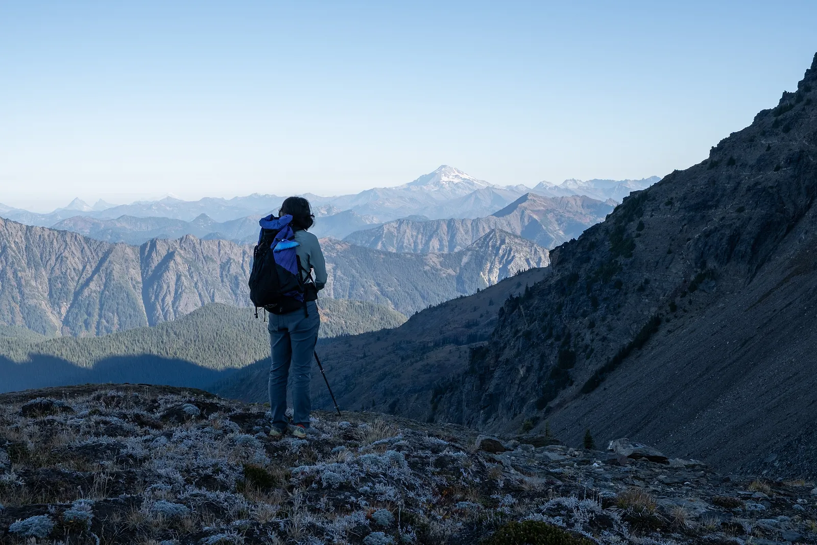
We started from our camp at Grace Lakes. First we had to hike down the Lake Grace trail to a flat area, then regain the elevation toward the southwest slope of Snowgrass Mountain. After some bushwhacking, we finally came out of the forest, stashed our overnight gear, and walked toward the south ridge. Route finding wasn't a big issue, and we didn't run into much difficulty until the end of the broad south ridge. Water is available high in the basin at 6,800 ft, so you probably don't need to carry a lot of water if you come early in the season.
At the end of the ridge, we had to climb through the class 3 chimney and down the exposed class 4 slab to get over the false summit. I didn't see any way to bypass those sections. You could probably leave the ridge early and skip the broad ridge altogether to keep it class 2. But without snow, traversing the scree and loose rock in the basin feels very miserable.
Finally, we made it to the summit! All in all, it is still a relaxed walk almost all the way, except for one spicy slab section. There is a nice summit register, but the pen was missing, which made me a little sad.
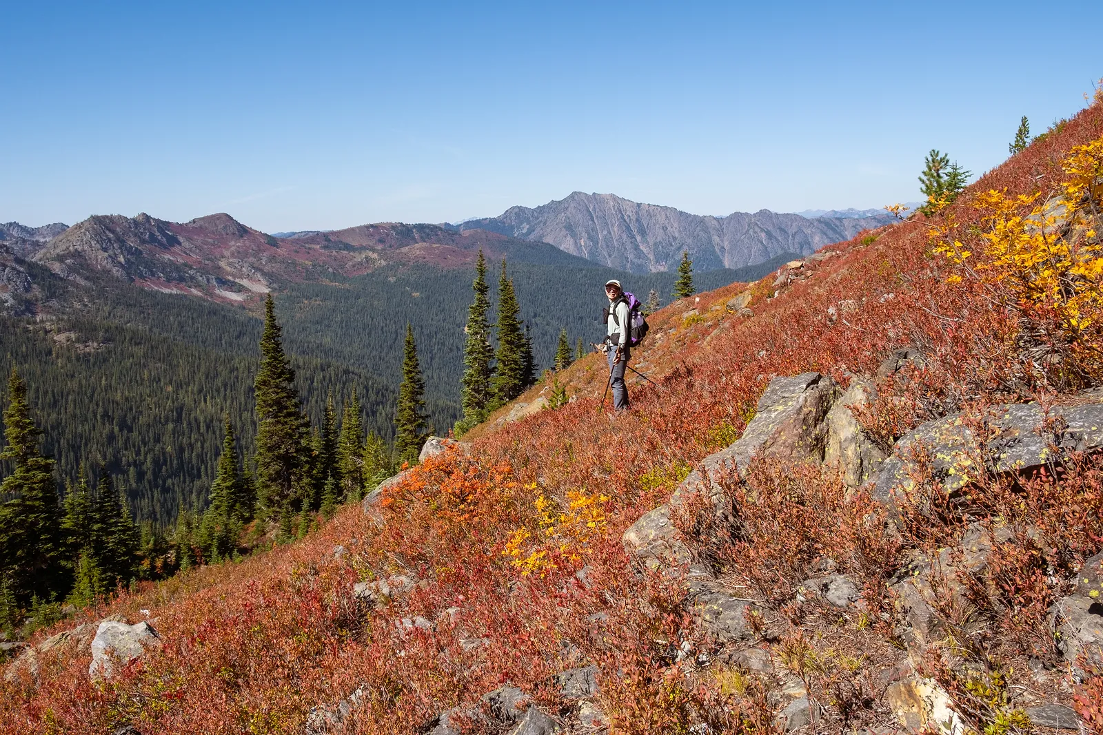
After refueling and resting, we headed back to our stash and then out to the car. But it just felt so long to walks on the 9 miles trail out!